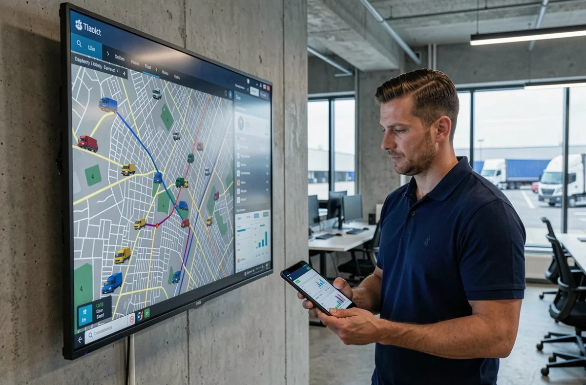
The geolocation of professional vehicles now concerns a growing share of French companies with a vehicle fleet. Fleet tracking relies on telematics devices and dedicated software that centralize the position, routes, and technical data of each vehicle. Its deployment is framed within a precise regulatory context, particularly governed by the CNIL, which limits the purposes of data collection to avoid any drift towards permanent surveillance of employees.
CNIL Framework and Authorized Purposes for Geolocation of Professional Vehicles
A geolocation system cannot be used for everything. The CNIL requires that the device meets defined and limited purposes: optimization of routes, tracking of billing related to a service, compliance with a legal obligation, or protection against theft.
The most common point of friction concerns the prohibition of permanent monitoring of an employee’s movements. An employer cannot use geolocation to verify compliance with speed limits in real-time or to monitor an employee who has the freedom to organize their routes. Prior information to the employee and consultation with employee representatives are obligations, not options.
The duration of retention of location data is also regulated. To understand how fleet tracking and geolocation work within this regulatory context, it is necessary to distinguish between raw position data (retained for a few months) and aggregated data (mileage statistics, consumption) which can be stored for longer. This distinction conditions the technical architecture of the chosen system.
Telematics Data Usable Beyond Simple GPS Position
Reducing fleet tracking to a point on a map is a common mistake. Current embedded devices provide much more than just the position: real-time mileage, fuel levels, engine diagnostic codes (OBD), driving behaviors (sudden accelerations, hard braking).
These data feed three distinct management axes:
- Preventive maintenance, which relies on actual mileage and technical alerts rather than a fixed schedule often disconnected from the actual use of the vehicle.
- The analysis of fuel consumption by vehicle and driver, which allows for the identification of significant discrepancies between two similar vehicles assigned to comparable missions.
- Eco-driving, measured by aggregated scores (acceleration, braking, engine speed) that serve as a basis for awareness-raising actions, not sanctions.
The value of fleet management software is measured by its ability to cross-reference these flows. A vehicle whose consumption increases abnormally while its mileage remains stable signals a mechanical problem even before a warning light comes on the dashboard.
Limits of Collected Data
Telematics data do not cover everything. The OBD diagnosis of light commercial vehicles remains less standardized than that of heavy trucks, which can lead to incomplete or inconsistent data depending on the manufacturers. Mixed fleets (multiple brands, multiple generations) pose a problem of data homogeneity that few software publishers clearly document in their offerings.
Moreover, GPS accuracy varies depending on the environment. In dense urban areas or underground parking lots, location can drift by several dozen meters, complicating last-mile delivery tracking.
Low Emission Zones and Fleet Movement Planning
Low Emission Zones (LEZ) add a layer of complexity for fleet managers. In 2025, the Ministry of Ecological Transition indicated that the LEZ already established remained in effect, while other projects were suspended pending legislative debates.
For a fleet manager, this situation creates a regulatory uncertainty that varies from one urban area to another. Geolocation allows for the identification of which vehicles regularly circulate within the affected areas, and thus prioritizes renewals towards compliant engines. However, it does not replace active monitoring of municipal and metropolitan decrees, which evolve at their own pace.
In practice, fleet tracking software can cross-reference position data with LEZ boundaries to generate alerts. Some solutions already integrate these zoning areas. The difficulty lies in updating the boundaries themselves, whose contours and access criteria sometimes change within a few months.

Criteria for Choosing a Fleet Tracking Solution for Businesses
The market for fleet management solutions is fragmented. Between publishers specializing in pure telematics, those combining geolocation and intervention management, and car manufacturers offering their own connected portals, the choice depends on the size of the fleet and business needs.
- Interoperability with existing tools (ERP, billing software, intervention planning) conditions the fluidity of daily use. A siloed system generates duplicate entries.
- The actual cost includes the device, the monthly subscription per vehicle, and installation time. Some providers impose a multi-year commitment that rigidifies management.
- The granularity of available reports varies greatly. A fleet manager with a few dozen vehicles does not have the same needs as a company managing several hundred utility vehicles across the territory.
- The CNIL compliance of the proposed device (access rights configuration, automatic data purging, provided documentation) should be included in the specifications, not as an appendix.
A rarely addressed point by publishers: the portability of historical data in case of a provider change. If mileage, consumption, and maintenance data are not exportable in a standard format, the manager starts from scratch with each migration.
Fleet tracking and geolocation are not just a technical tool. Their effectiveness depends as much on the quality of the collected data as on the framework in which they are used. Regulatory constraints (CNIL, LEZ) are not obstacles but design parameters that condition the sustainability of the chosen system.